
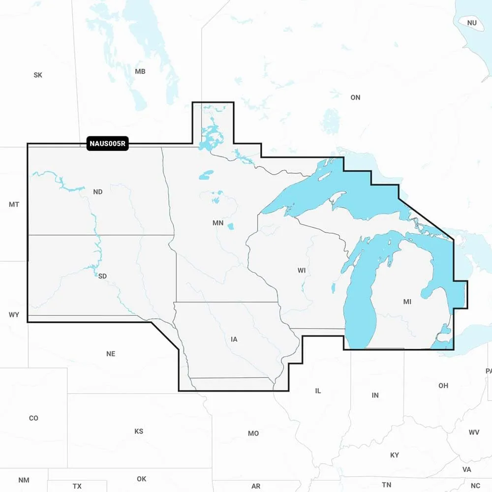


Navionics U.S. North chart cards for compatible chartplotters offering SonarChart HD bathymetry, dock-to-dock route guidance, Plotter Sync and daily updates.
Non-returnable
$249.99
Color
Size
Material

Navionics U.S. North marine charts provide integrated, detail-rich mapping of coastal waters, lakes, rivers and Great Lakes areas. Available on SD/microSD card format, the charts include SonarChart 1' (0.5 m) HD bathymetry to enhance depth detail and SonarChart Live mapping to watch new depth maps develop as you move. Advanced features such as dock-to-dock route guidance assist route planning, while Plotter Sync transfers routes, markers and chart updates between your chartplotter and the Boating app. Multiple shading and advanced map options help highlight target depth ranges and improve shallow water navigation. Navionics Chart Installer and daily updates ensure the freshest chart data is available for compatible chartplotters.
| Product Details | |
| Included Components | Great Product |
| Map scale | Varies depending on the source |
| Model Name | 010-C1368-30 |
| Number of Items | 1 |
| Special Feature | SonarChart Live Mapping, Dock-to-dock Route Guidance |
| UPC | 821245991676 |
| Warranty Description | Warranty |
| Sizing & Dimensions | |
| Weight | 1.59 ounces |
| Technical Specifications | |
| Model Number | 010-C1368-30 |
| Special Feature | SonarChart Live Mapping, Dock-to-dock Route Guidance |

Stay informed about our latest updates through email. Subscribe here.
*By signing up, you agree to receive emails from us. You can unsubscribe anytime.